衡水中能通用機(jī)械有限公司
位于河北省衡水市桃城區(qū)�����。北京南300公里����,臨近106國道���,大廣高速�����,京九鐵路�,交通十分便利。本公司占地面積38000平方米����,其中建筑面積20000平方米,現(xiàn)擁有固定資產(chǎn)1200萬元�,流動資產(chǎn)1800萬元,專業(yè)技術(shù)人員40多人���,職工干部200多人����。
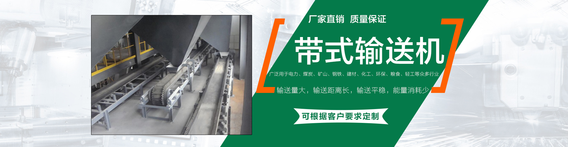
輸送機(jī)械設(shè)備及配套設(shè)備生產(chǎn)廠家
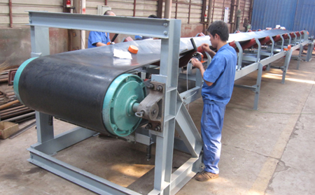
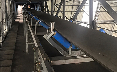
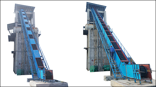
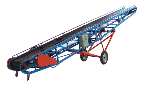
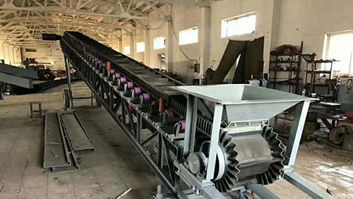
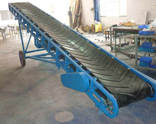
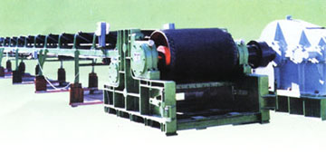
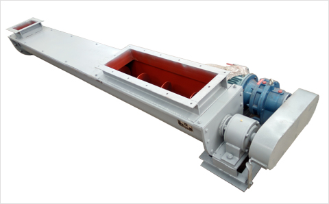
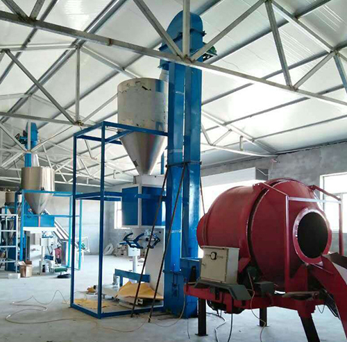
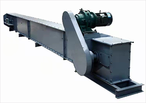
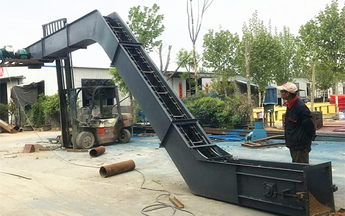
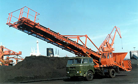
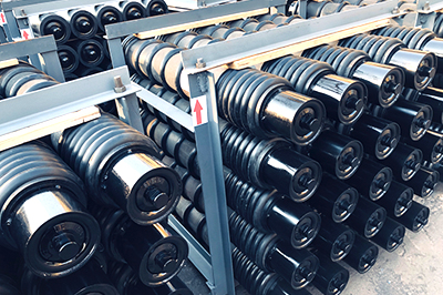
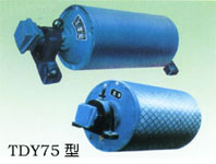
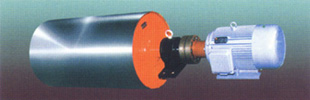
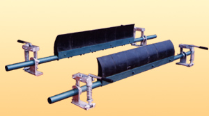
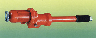
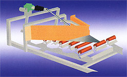
本公司是生產(chǎn)輸送機(jī)械設(shè)備及配套設(shè)備的一體�����,主營產(chǎn)品:TD75�、DTII、DJ型大傾角輸送機(jī)�����、斗式提升機(jī)�����、螺旋輸送機(jī)�����、井下輸送機(jī)及托輥已獲得煤礦礦用產(chǎn)品安全標(biāo)志證書�。
品質(zhì)服務(wù),質(zhì)量保障
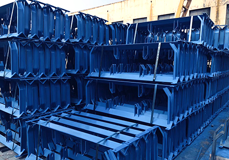
本公司生產(chǎn)技術(shù)力量雄厚�����,擁有先進(jìn)的生產(chǎn)設(shè)備200多臺套����,有完善的檢測儀器30多臺套,產(chǎn)品暢銷我國二十多個省�����、市��、自治區(qū)并有部分產(chǎn)品出口沙特阿拉伯�����、越南、俄羅斯等國家和地區(qū)��,產(chǎn)品深受國內(nèi)外客戶的一致贊譽(yù)���。
完善的售后服務(wù)
從生產(chǎn)到銷售提供整體的解決方案��,24小時快速響應(yīng)���,銷售熱線:13831888116

 掃一掃 加關(guān)注